Project partners
Minister for Infrastructure and Transport acting through the Department of Infrastructure & Transport (DIT) South Australia; and the iMOVE Cooperative Research Centre (CRC).
Research objectives
This project is an exploratory study that is investigating the ability of different sources of passively-collected transport data to replace traditional household travel survey data collection methods for strategic transport planning. The project is using data from roadside Bluetooth sensors, adaptive traffic control systems, public transport smartcards and vehicle tracking systems, the Australian Census, GIS databases and potentially other data sources in the Greater Adelaide metropolitan region, to develop and test algorithms to infer mode-specific origin-destination (O-D) flows within the region.
Background and context
Travel demand models (TDMs) are quantitative tools that are used by local, regional and national planning organizations for the development of evidencebased transport policy. TDMs can offer insights on current patterns of travel behaviour, and provide a framework for predicting changes in behaviour in response to changes in the transport system. Forecasts from TDMs are used to determine the capacity that new infrastructure must provide; and to facilitate the economic, environmental and social impact assessments of competing initiatives.
Traditionally, TDMs have been calibrated and validated using data collected through household travel surveys (HTS) that ask participating household members about their travel patterns over a 1 or 2- day observation period. However, HTSs are expensive. Hartgen and San Jose (2009) report average costs of $487,000 per HTS, and roughly $150 per response, though they note that "many surveys cost considerably more than the average, and the spread of the data is substantial". Stopher et al., (2011) find that a computer-assisted telephone interview survey in Australia would cost $150-200 per household, face-to-face surveys are likely in the order of $350 plus per household, and a 15-day GPS survey would cost around $300 per household.
The rapid diffusion of smartphones, WiFi and Bluetooth networks, and the digitization of transport planning, booking and payment systems, in conjunction with broader advances in the Internet of Things (IoT) across all sectors of the economy, imply that we have more data than ever before on how people use transport infrastructure, and how these patterns are likely to change in the future. These new ICT technologies offer a more costeffective alternative for the collection of transport data, but at far greater volumes. For example, the Sydney Household Travel Survey currently samples roughly 5,000 households each year from a population of roughly 5 million, and observes their travel patterns over a 24hour period. In contrast, data from mobile phones, Bluetooth devices, public transport smartcards, etc. could offer a continuous stream of travel information for a large majority of that population over rolling time periods.
These new information sources require a reassessment not just of how transport data is collected, but also how it is used in the strategic planning process. For example, MASTEM - DIT’s strategic model for the Greater Adelaide metropolitan area - uses a traditional econometric approach rooted in behavioral theory. The demand for travel is theorized as being derived from the demand to engage in different activities separated from each other in space and time, and modelled as a function of different demographic and trip-level characteristics, such as household structure and trip purpose, that are treated as proxies for this underlying demand. Information about these variables has historically been sourced from household travel surveys. Passively collected data from different IoT sources is likely to offer only limited information on these same variables. However, they can offer information on other spatial and temporal variables to a far greater extent and precision than would ever be feasible using household travel surveys. In order to use this information for strategic planning, we need to revise the structure of MASTEM. In particular, we need to move away from a theory-driven approach based in traditional econometrics that is reliant on information that can only be sourced through household travel surveys. Instead, we need to move towards a data-driven approach based in the machine learning paradigm, where no prior theoretical assumptions need to be made, and the best model is developed using all available data.
In summary, such rich, detailed and uptodate data could be transformative for extant travel demand modelling practices. If our cities and regions are to design and deliver transport systems and services that fulfill current and future needs of different subpopulations, it is imperative that we understand the many factors that shape the behavior of the people that live in them. This study will investigate the ability of these new sources of transportation data to replace traditional surveys for the benefit of transport policy and practice - locally, nationally and internationally.
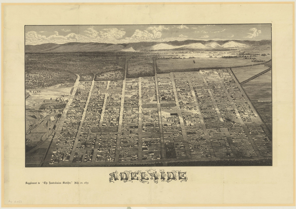
1876 aerial view of Adelaide City; image by Jude Elton, History Trust of South Australia